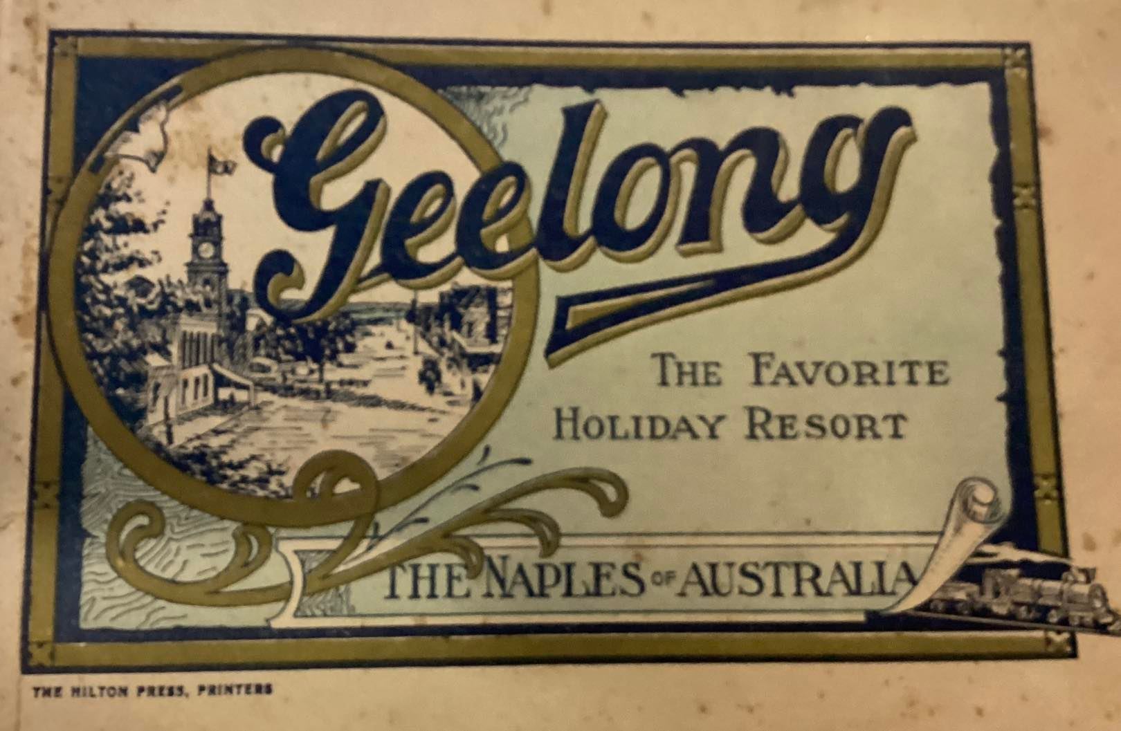
Pumping up Geelong’s tyres to outsiders has been a tourism sector perennial since those tyres were velocipedes and penny farthings.
Monochrome and sepia pamphlets, brochures, adverts and fliers were replete with admirably colourful hyperbole long before printing presses were running hot with spot and process colour.
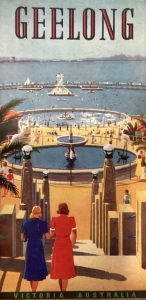
Their graphics, ranging from heavily-typefaced but image-less showings to whimsical art nouveau, stylised art deco and brashly colourful photo presentations, provide a widely varied idea of what Geelong looked like and had to offer back in the day.
 .
. 
Delve into Deakin Waterfront’s Alfred Deakin Prime Ministerial Library Special Collections and you’ll find an intriguing array of these marketing tools. The commentary in many makes for curious social and geographical revelations.
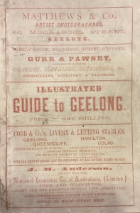
For instance, one from the 1870s extols the city’s waterfront features, as you’d expect, before suggesting: “Perhaps, however, you have less taste for seas sceneryside than for the meandering river, with its green fields on one side and manufacturing industries on the other.
“The visitor to Geelong will, in this case, make his way to the Barwon, which is about a mile from the Exhibition in Moorabool-street, in a straight line South.
“On the way he will pass on the left the Church of England Grammar School, a noble pile of building; and crossing the Queenscliffe Railway in Kardinia Park, he will presently come to South Geelong.
“Close to the Barwon bridge, on the left, is the younger Blunt’s boat-house, and the Woollen Factories lie to the east and west, easily approached.
“On the other side, the Barrabool Hills rise gradually from the river, the waving corn glistening in the sun, with, here and there, large green patches denoting vineyard and orchards, a pretty picture upon which the eye may rest long without wearying with men who have been used daily to the feverish excitement and high-pressure of city life.”
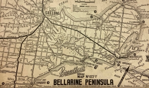
Maps present a different perspective as well. One Broadbents cartographic depiction of the Bellarine Peninsula citing little-known or forgotten places such as Point Galena, Newington, Fenwick, Bonny Vale, Point Quinlivan.
The name Jan Juc, from the Aboriginal ‘jan jook’ for ironbark trees in the area was renamed Bellbrae after WW1 because of German connotations yet the same Broadbents map has a Jans Junc, which seems an abbreviation for Jans Junction, where the Anglesea Road hits the Great Ocean Road.
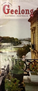
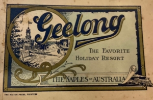
One particular image portrays Geelong in a continental light from a Malop Street sandstone building with a flowering iron balcony overlooking Johnstone Park. Another refers to Geelong as The Favourite Holiday Resort: The Naples of Australia.
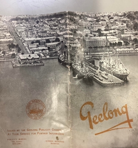
Eastern Beach, the Belcher Drinking Fountain, port ships and wharves feature strongly in the advertising collateral. Similarly, lengthy fold-out photo arrangements or catalogues – even TAA airline brochures.
Corio Bay is a common lure through many. “… These jetties for delightful summer evening promenades, when a gorgeous sunset colours the distant You Yangs with a purple tint, and makes the rippling waters of the Bay appear as through countless gems sparkled upon its fair bosom.”
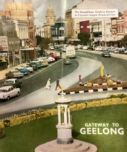
As for pumping tyres, check out the real ones on Malop Street in the 1960s. There’s also angle parking and two lanes of traffic each way. Back when you could drive in the CBD, that is.
This article appeared in the Geelong Advertiser 27 March 2023


